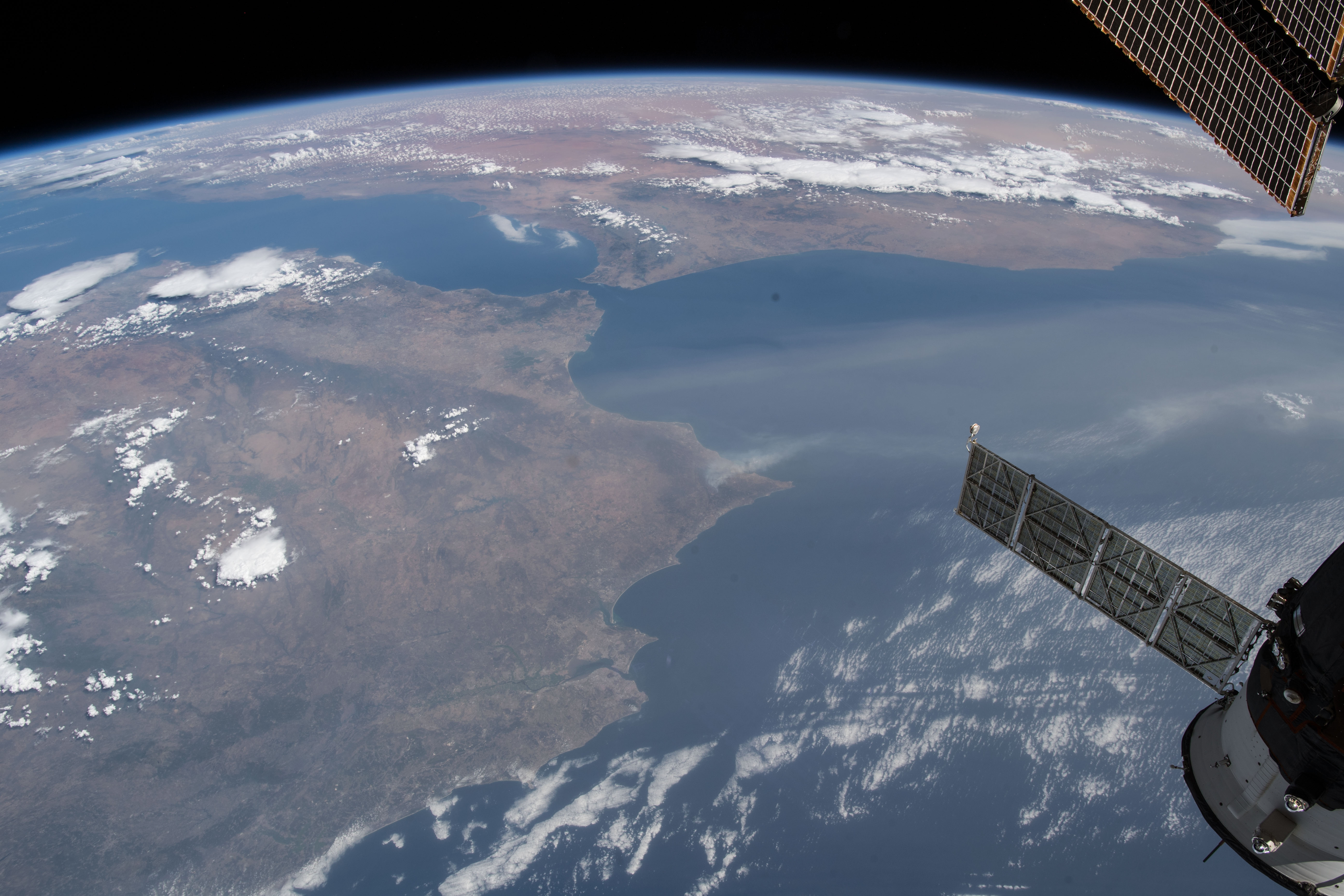
Satellite imagery captured smoke and flames from wildfires rising above parts of France, Portugal, and Spain this week [1].
These images highlight the scale of the environmental crisis affecting Southern Europe, where simultaneous blazes are straining emergency resources across multiple national borders.
In Portugal, the firefighting effort has focused heavily on the Vouzela area in the central region of the country. Authorities deployed more than 1,200 firefighters to manage the blaze [2]. The operation involved nearly 400 vehicles to transport personnel and equipment to the fire lines [2].
Aerial support has also been critical to the containment strategy. Officials deployed 15 aircraft to combat the fires from the air [2]. This combination of ground and air assets aims to prevent the flames from spreading into more densely populated regions.
While satellite data from Reuters highlighted activity in France, Portugal, and Spain [1], other reports included Greece in the list of affected nations [2]. The disparity in reports underscores the widespread nature of the fires across the Mediterranean basin.
Emergency services continue to monitor the situation as the fires rage through various terrains. The use of satellite monitoring allows coordinators to track the movement of smoke and heat in real time, providing a critical tool for resource allocation during the peak of the crisis.
“Satellite imagery captured smoke and flames from wildfires rising above parts of France, Portugal and Spain”
The reliance on satellite imagery to track these fires indicates a shift toward space-based monitoring to manage large-scale climate events. The simultaneous occurrence of wildfires across multiple European borders suggests a regional atmospheric pattern that exceeds the capacity of any single nation's emergency services, necessitating coordinated international responses.


