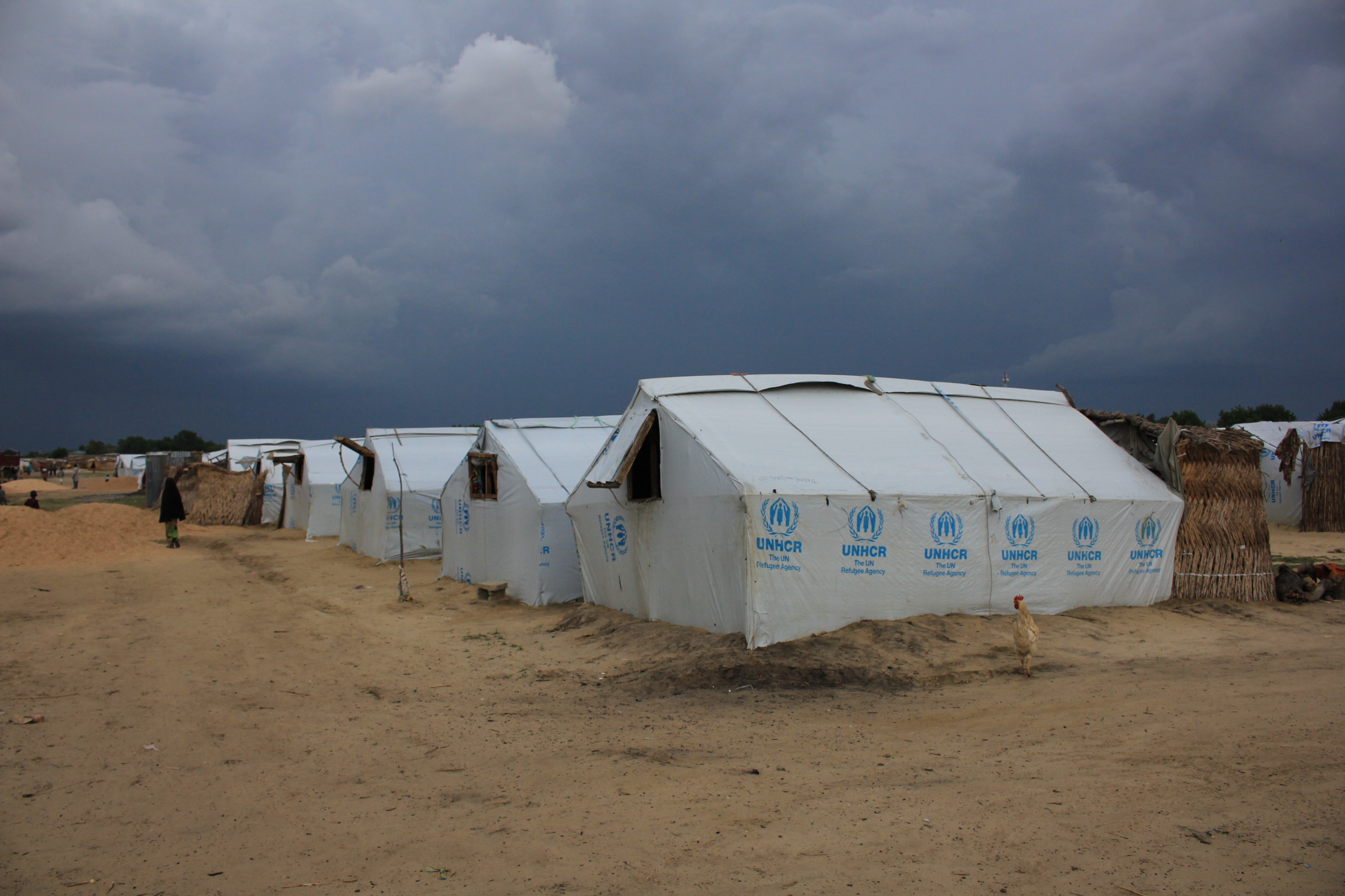
A powerful earthquake struck the Mindanao region of the southern Philippines early Sunday, June 7, 2026, triggering immediate tsunami warnings [1, 2].
The event is significant because the quake's high magnitude created a potential for destructive sea-level disturbances across the Pacific, requiring rapid coordination between international monitoring agencies.
Reports on the exact strength of the tremor varied among sources. The Star Advertiser said the magnitude was 8.2 [2], while Yahoo said the quake was 7.8 magnitude [1]. The earthquake occurred at 1:38 p.m. local time [2].
Data indicated the epicenter was located 24.7 kilometers, or 15.3 miles, from a reference point [1]. Because of the scale of the seismic activity, authorities issued warnings and began evaluating the potential for tsunamis to impact coastal areas [1, 2].
Attention extended beyond the immediate region to the U.S. Pacific. The Star Advertiser said a tsunami threat to Hawaii was under evaluation [2]. However, subsequent updates from the same source said there was no tsunami threat to Hawaii following the large earthquake [2].
Emergency responders in the Philippines focused on the Mindanao region to assess damage and ensure public safety. The discrepancy in magnitude reports, ranging from 7.8 to 8.2, is common in the immediate aftermath of major seismic events as different agencies refine their data [1, 2].
“A powerful earthquake struck the Mindanao region of the southern Philippines early Sunday, June 7, 2026”
The variance in initial magnitude reports and the fluctuating tsunami alerts for Hawaii highlight the volatility of real-time seismic monitoring. When a quake exceeds a magnitude of 7.0, it typically triggers automatic regional alerts, necessitating a period of verification by the Pacific Tsunami Warning Center and other agencies to determine if the seabed displacement was sufficient to generate a trans-oceanic wave.