
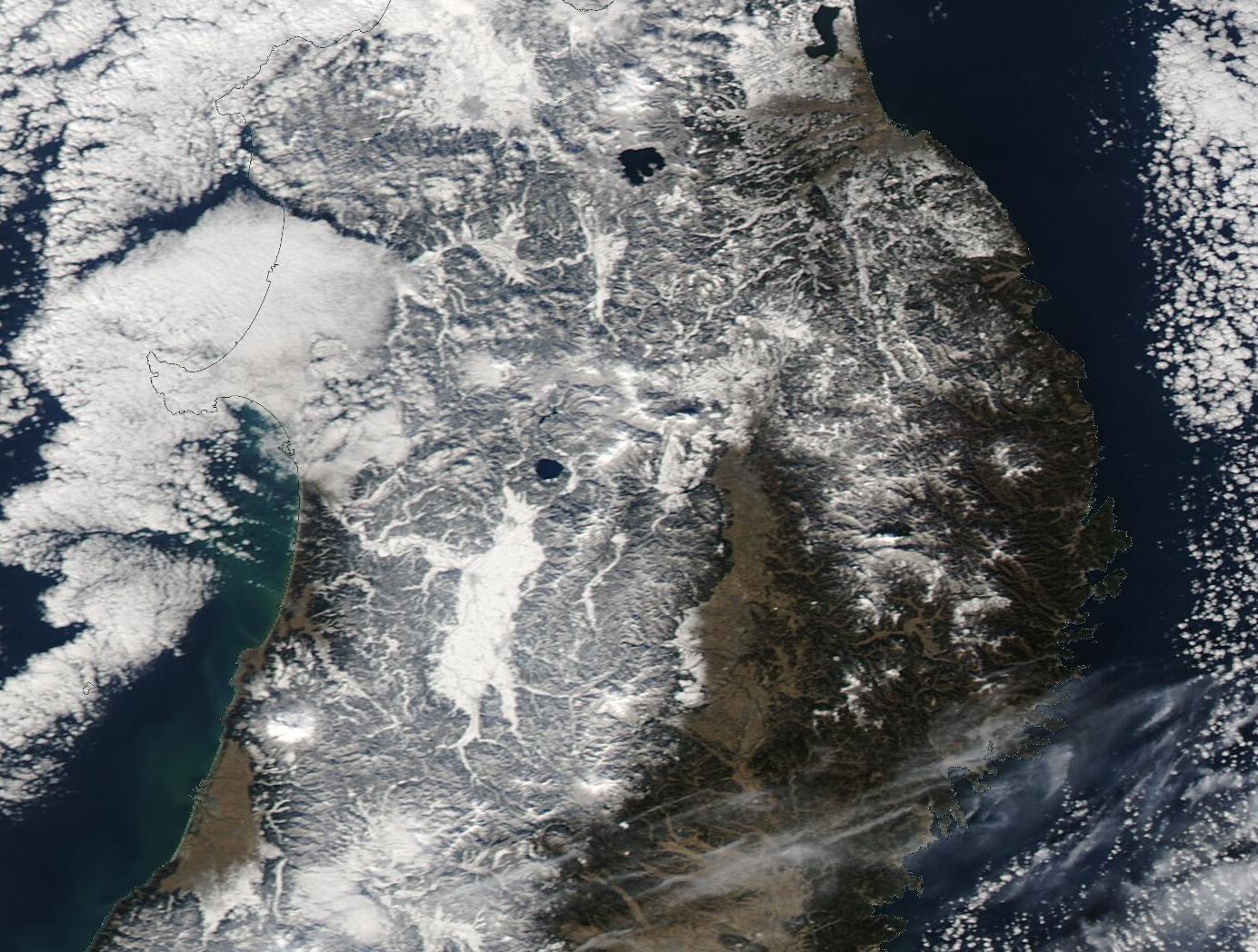
Typhoon No. 6 is expected to bring heavy rain and potential flooding to Honshu next week [1, 2].
The storm's movement creates a significant risk for residents in the Kanto and Tokai regions, where heavy rainfall often leads to landslides and urban flooding. This weather event coincides with a complex atmospheric shift, as the typhoon's westward path combines with the northward movement of warm air following a low-pressure system [3, 4].
Meteorologists are monitoring a rare situation where two separate storms are active threats. While Typhoon No. 6 is projected to impact Honshu, Typhoon No. 8 approached the vicinity of the main island on May 27, 2026 [2]. This dual-storm scenario increases the unpredictability of precipitation patterns across the Japanese archipelago [2].
Okinawa has already experienced severe weather, with stormy conditions continuing through May 24, 2026 [2]. The transition of these systems toward the mainland puts the entire region of Honshu on alert for the period between May 29 and June 4 [1, 2].
Reports on the exact nature of the impact vary among sources. Some forecasts emphasize the threat of extreme heat and heatstroke risks for Honshu, while others focus on the immediate danger of heavy rainfall linked to Typhoon No. 6 [1, 5]. Despite these differing outlooks, the primary concern for the coming week remains the potential for significant water damage in densely populated areas [1, 2].
“Typhoon No. 6 is expected to bring heavy rain and potential flooding to Honshu next week.”
The simultaneous presence of Typhoon No. 6 and Typhoon No. 8 suggests a volatile weather window for Japan. When multiple tropical systems interact with shifting low-pressure fronts, it often results in erratic rainfall distribution and intensified storm surges, complicating evacuation efforts and infrastructure readiness in the Kanto and Tokai regions.


