A strong extratropical cyclone hit the Atlantic coast of Buenos Aires province on Sunday, April 26, 2026 [1, 2].
The storm represents a significant risk to coastal infrastructure and public safety due to the combination of high winds and rising water levels. Local authorities issued alerts to mitigate the impact of potential flooding in densely populated seaside areas.
Meteorological reports indicate the system generated maximum wind gusts of up to 100 km/h [1]. This cyclone brought a sharp drop in temperature and isolated rain across the region [1, 3]. The severity of the weather system led to the activation of flood alerts for the Atlantic Coast and the Río de la Plata area [4].
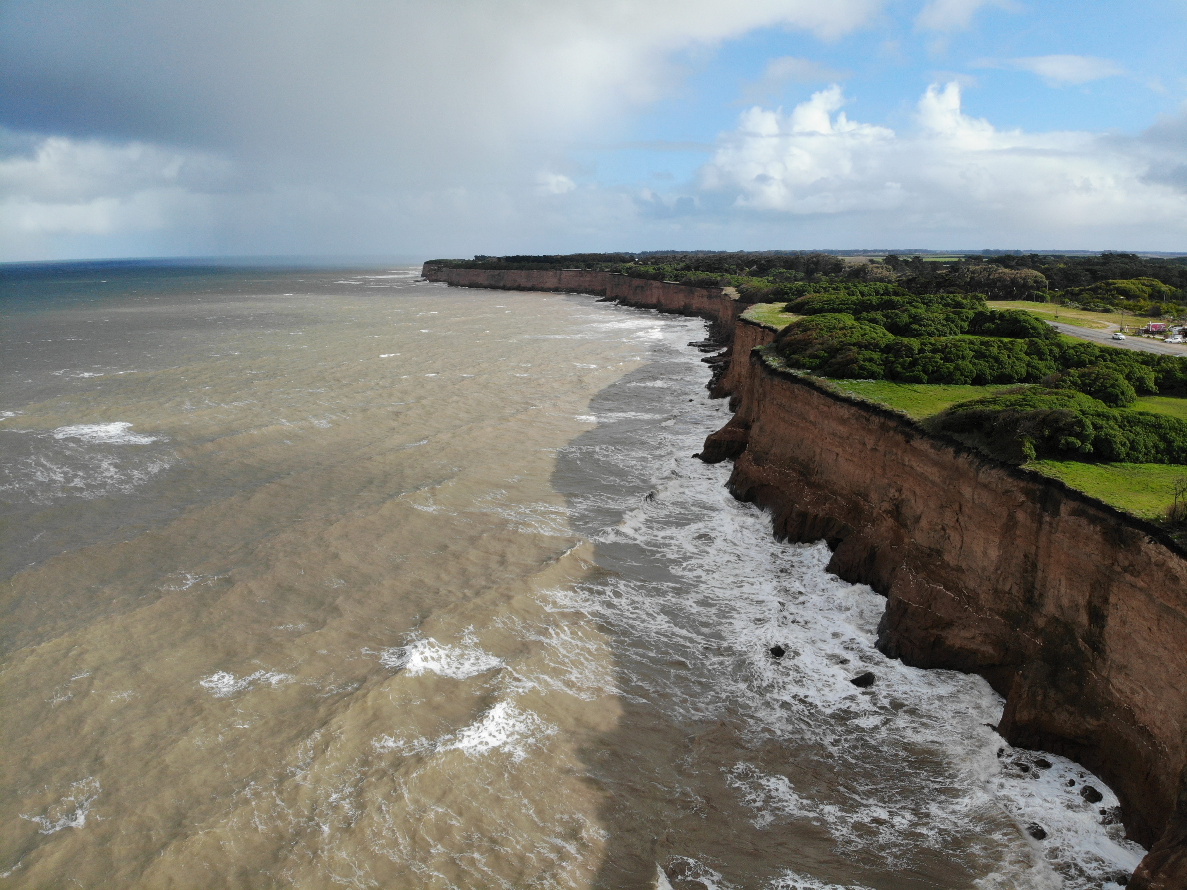
Several coastal towns experienced the brunt of the storm. Mar Chiquita, Pinamar, and Miramar were specifically identified as areas affected by the temporal [3]. These locations faced the dual threat of intense wind surges and inland flooding as the cyclone moved through the province.
The atmospheric conditions were driven by an extratropical cyclone, which typically creates a volatile mix of pressure changes and temperature shifts [1]. Residents in the affected zones were warned to prepare for the sudden temperature fall and the potential for structural damage caused by the high-velocity winds.
Emergency services monitored the Río de la Plata and the Atlantic coastline to manage the risk of coastal flooding [4]. The synchronization of heavy rain and storm surges often complicates evacuation and rescue efforts in low-lying coastal regions.
“Maximum wind gusts reached up to 100 km/h.”
The occurrence of high-velocity extratropical cyclones in the Buenos Aires province highlights the vulnerability of Argentina's Atlantic coastline to rapid meteorological shifts. When extreme wind gusts coincide with flood alerts in the Río de la Plata basin, it increases the likelihood of significant coastal erosion and urban flooding, necessitating more robust early-warning systems for seaside municipalities.


