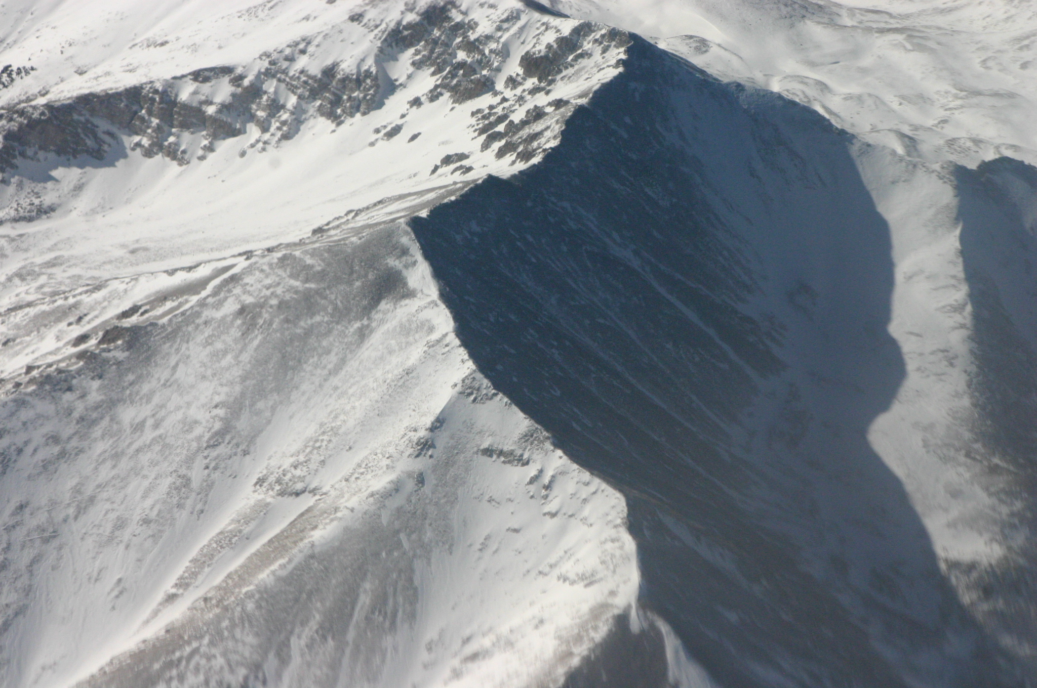
Snowfall has begun in the mountains west of Denver, with forecasters predicting accumulations of up to 15 inches [1].
This late-season weather event arrives as the region grapples with persistent drought. While the snowfall provides immediate moisture, experts suggest the event is too limited in scope to reverse long-term water deficits.
The current weather pattern is characterized by cooler and wetter conditions. This shift has brought precipitation back to the high-altitude regions of the U.S. state, where the sudden drop in temperature has allowed for snow rather than rain.
Forecasters expect the heaviest accumulation to remain concentrated in the mountain ranges west of the city [1]. Local officials and residents are monitoring the totals as the system moves through the area this week.
Despite the volume of snow, the impact on the broader environment remains modest. Forecasters said the current snowfall "won't move the needle" [2] regarding the state's overall drought conditions.
The timing of the storm is unusual for early May, though not unprecedented for Colorado's volatile mountain climate. The moisture is viewed as a brief reprieve rather than a systemic solution to the water crisis affecting the region.
“up to 15 inches”
This event highlights the volatility of high-altitude weather patterns in the U.S. West. While 15 inches of snow is a significant local event, the failure of such storms to 'move the needle' on drought underscores the scale of the regional water deficit, where isolated weather events are insufficient to offset systemic aridification.


