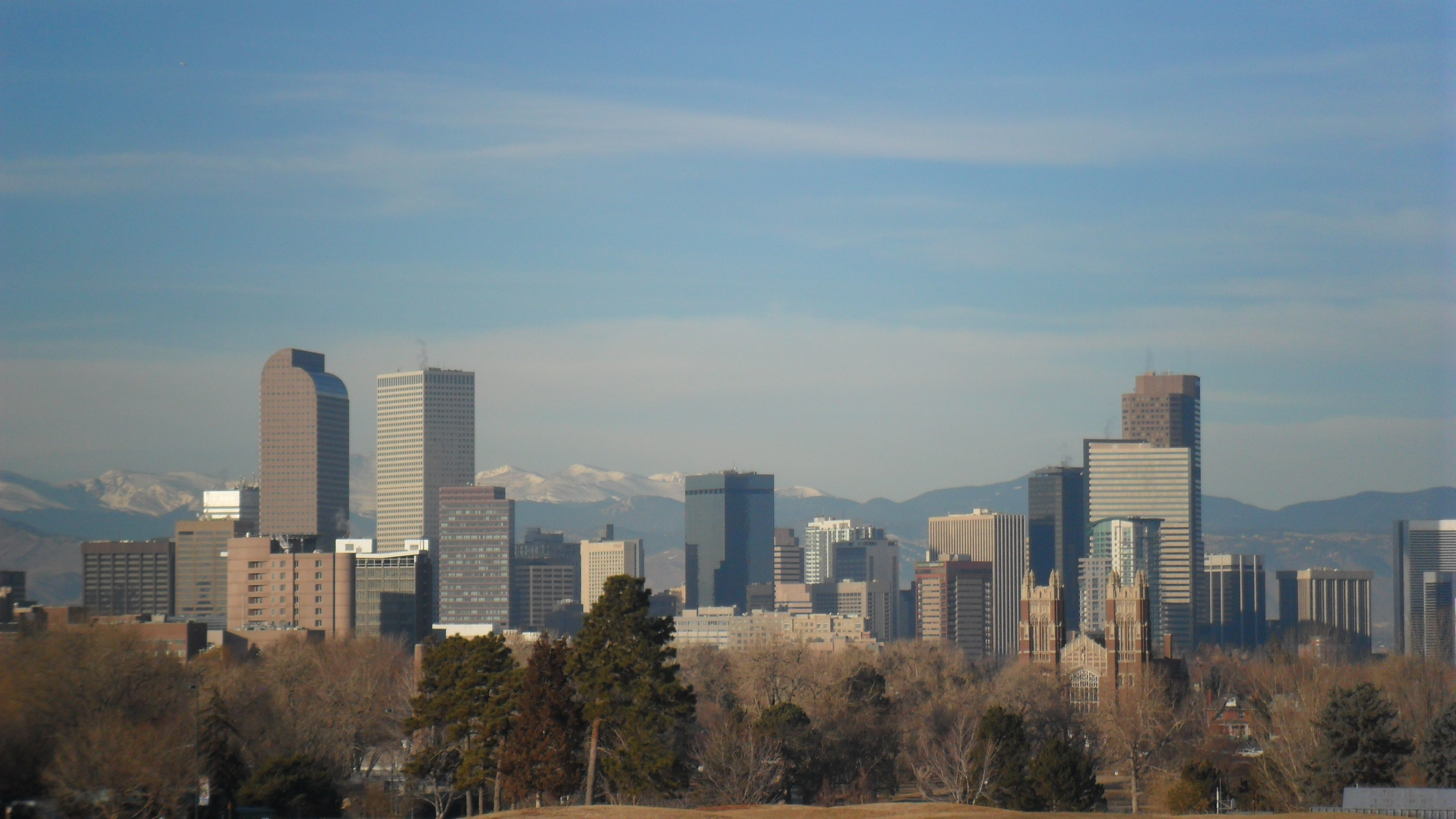
Denver recorded a record-high temperature of 102°F [1] on Monday afternoon before dropping to a tied record low on Wednesday morning.
This rapid shift in temperature highlights the volatility of weather patterns in the region. Such extreme swings within a short window can create significant challenges for infrastructure and public health management.
According to reports, the city experienced a record-high 102°F [1] on Monday afternoon. Within 38 hours, the temperature plummeted to 48°F [2] by Wednesday morning. This low temperature tied the all-time record low for the city [2].
"Denver reached a record‑high 102° on Monday afternoon, but dropped to 48° Wednesday morning in Denver," 9 News Australia said.
The transition from extreme heat to a record-tying chill occurred over a period of less than two days. Local officials and residents faced a temperature difference of 54 degrees between the peak of Monday and the low of Wednesday morning.
While the record high of 102°F [1] marked a new peak, the 48°F [2] reading on Wednesday morning served as a reminder of the city's capacity for sudden cold snaps. This volatility is a characteristic of the high-altitude climate in Colorado, where atmospheric changes can trigger rapid thermal shifts.
“Denver recorded a record-high temperature of 102°F on Monday afternoon.”
The 54-degree swing in under 48 hours illustrates the extreme atmospheric instability possible in the U.S. interior. Such fluctuations often result from the rapid movement of cold fronts colliding with stagnant heat domes, a pattern that can stress local power grids and increase the risk of weather-related health emergencies.


