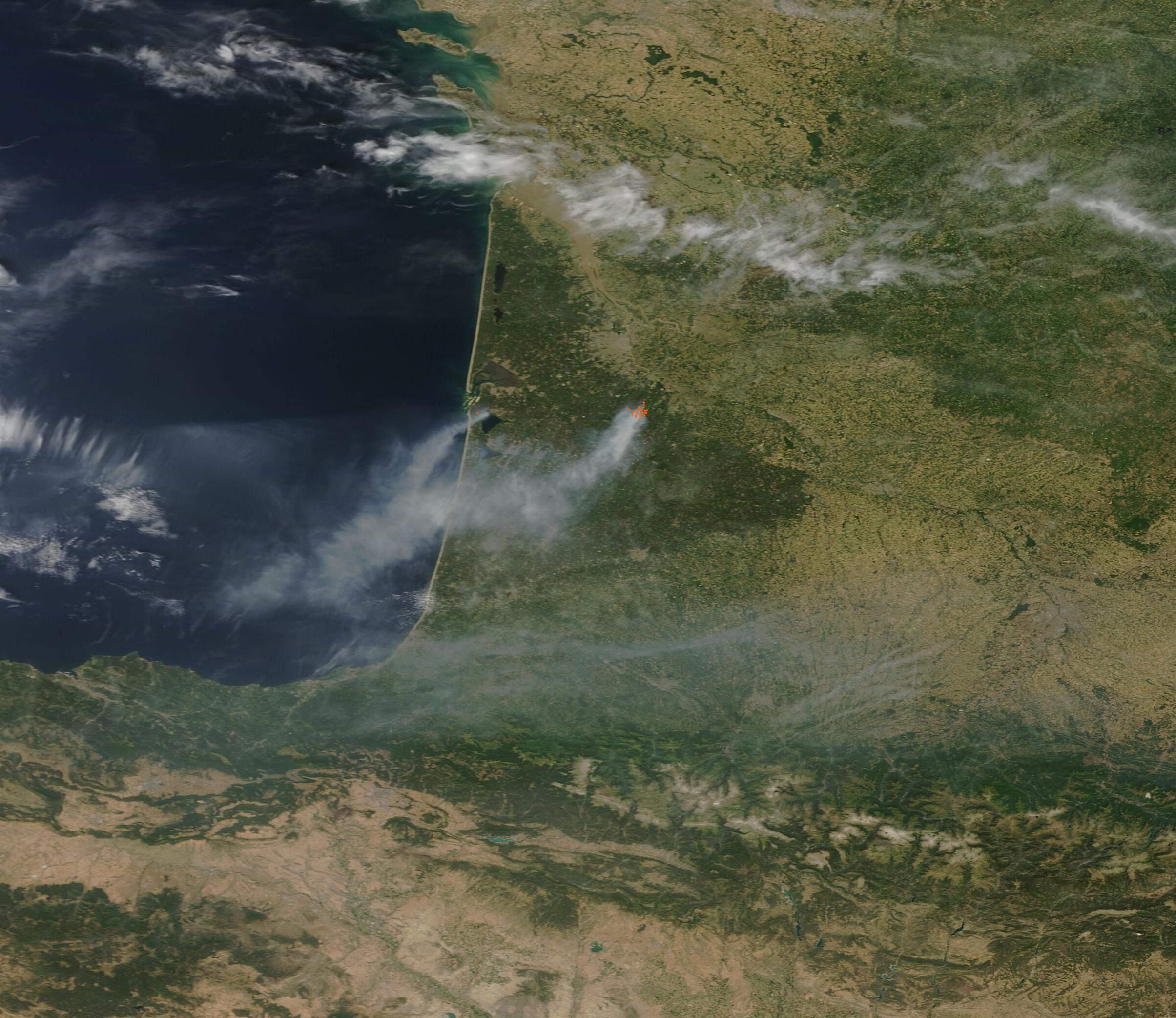
Firefighters are battling a massive wildfire that has scorched approximately 42,000 hectares in the Gironde department on France’s Atlantic coast [1].
The scale of the disaster has forced a massive displacement of residents and threatens critical coastal ecosystems. With tens of thousands of hectares burned, the blaze puts significant pressure on regional emergency resources and infrastructure.
The fire began July 22, 2026, and remains active as of this week [2]. It is centered near Lege-Cap-Ferret, specifically close to Grand Crohot beach [1]. Emergency responders are utilizing a combination of ground crews, fire engines, and aerial resources to contain the perimeter [1].
Extreme heat and dry conditions created the environment for the fast-moving wildfire [3]. These weather patterns have allowed the flames to spread rapidly, threatening both coastal villages and inland forested areas [3].
The impact on the local population has been extensive. More than 250,000 people have been evacuated across the Gironde and surrounding departments to ensure public safety [4].
Aerial water-bombing aircraft continue to operate over the blaze to dampen the flames and prevent further leaps across firebreaks [1]. Ground crews remain deployed to protect residential areas and critical infrastructure from the advancing fire line [1].
“Approximately 42,000 hectares have been burned by the wildfire.”
The scale of the Gironde wildfire reflects a growing trend of extreme weather volatility in Western Europe. The evacuation of over a quarter-million people demonstrates the high vulnerability of coastal residential zones to climate-driven fire events, suggesting that existing containment strategies may struggle against the increasing frequency of extreme heat and drought.


