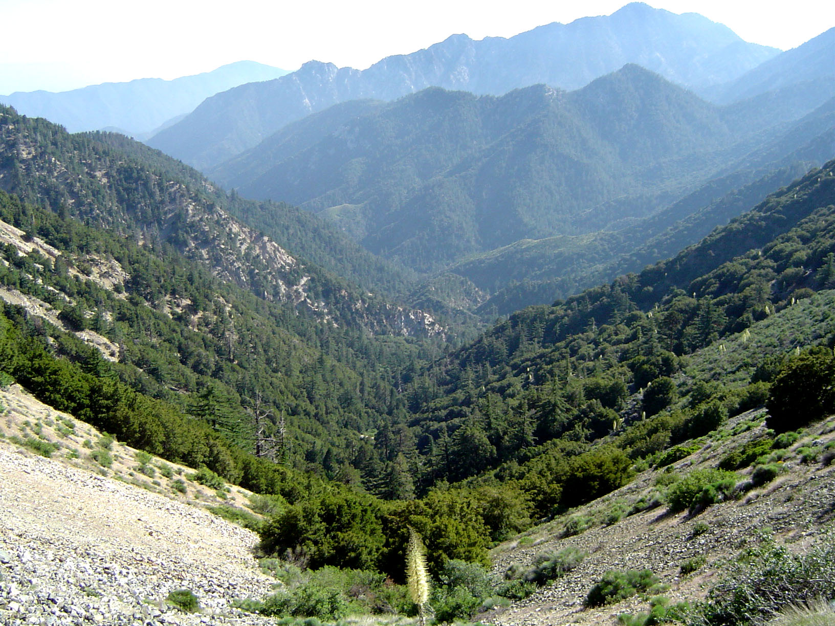
Aerial footage captured forest fires in Los Angeles County, California, that led to evacuation orders and the deployment of additional firefighting teams [1].
These events highlight the recurring threat of wildfires in the U.S. West, where heat waves can accelerate the spread of flames and threaten residential zones.
Local authorities and firefighting crews worked to contain the blazes as they spread through the region [1]. The expansion of the fires occurred during a regional heat wave, which increased the risk of further wildfire growth and forced residents to leave their homes [1].
Despite the scale of the fires and the necessity of evacuation orders, no injuries were reported [1]. The deployment of additional teams was necessary to manage the perimeter and protect surrounding infrastructure.
There has been conflicting information regarding the timing of the footage. A video description from Al Jazeera Arabic said the fires occurred on a Friday [1]. However, a Reuters fact-check determined that the aerial footage was actually recorded in January 2025 [2]. The Reuters report said that the footage had been misattributed to April 2025 in some social media posts [2].
The discrepancy in dates underscores the challenge of verifying user-generated or repurposed video content during active climate emergencies. While the footage accurately depicts the danger of forest fires in Los Angeles County, the specific timeline of the events is critical for accurate emergency reporting.
“Aerial footage captured forest fires in Los Angeles County, California, that led to evacuation orders.”
The misidentification of the fire's date illustrates a broader trend of 'digital recycling' where old disaster footage is shared as current news. This can create unnecessary panic or distort the perceived frequency of current climate events, emphasizing the need for rigorous verification of visual media in real-time reporting.


