Typhoon 9 combined with a seasonal rain front to trigger catastrophic rainfall and flooding across five prefectures in Kyushu on Thursday [1, 2].
The convergence of the tropical storm and the rain front created linear precipitation zones, narrow bands of intense rainfall, that led to disaster-level flooding and landslides. This weather pattern represents a severe threat to infrastructure and public safety in southern Japan.
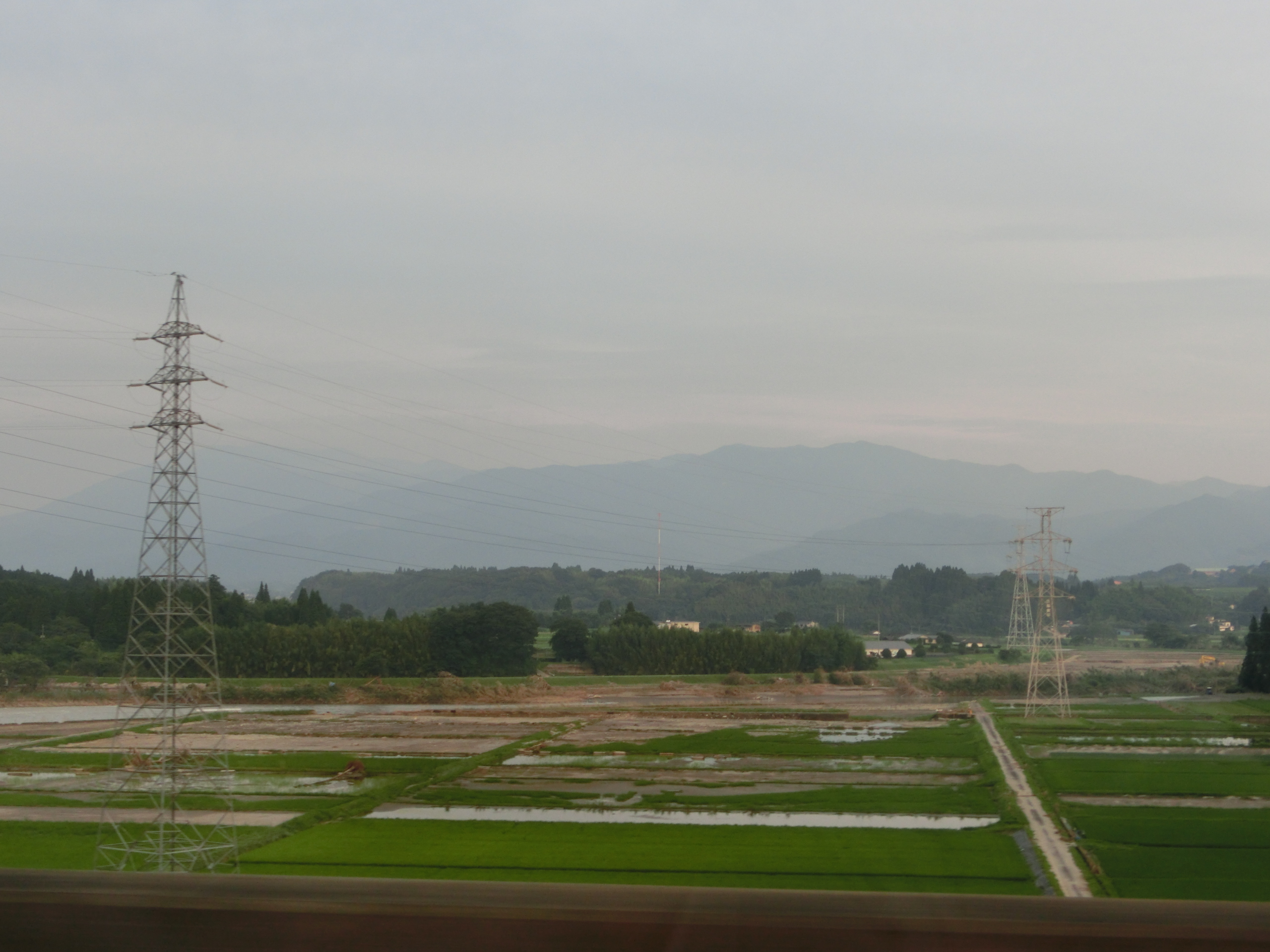
Heavy rain fell across Saga, Nagasaki, Fukuoka, Oita, and Kumamoto prefectures [1, 2]. In Nagasaki Prefecture's Saikai City, rainfall reached 84.5 mm within a single hour [1]. Similarly, Minamioguni Town in Kumamoto Prefecture recorded 73.5 mm of rain in one hour [1].
Emergency alerts reached the highest urgency as river systems hit level 5, the official designation for flooding that has already occurred [1]. The torrential rain caused immediate structural failures in several areas. In one instance, a slope beside a railway collapsed, sending debris onto a nearby road [1].
"The slope beside the tracks has collapsed and sediment is flowing onto the road below," Nanako Kai said [1].
Local authorities have focused on evacuation efforts as the linear precipitation zones continued to move across the region. The combination of the typhoon's moisture and the stationary rain front created a feedback loop that intensified the downpours across the five affected prefectures [1, 2].
“Rainfall reached 84.5 mm within a single hour in Saikai City.”
The interaction between Typhoon 9 and the existing rain front demonstrates the high risk of 'linear precipitation zones' during the Japanese rainy season. When tropical systems provide a continuous stream of moisture to a stationary front, it can lead to localized, extreme rainfall totals that overwhelm drainage systems and trigger immediate slope failures, necessitating rapid-response evacuation protocols.


