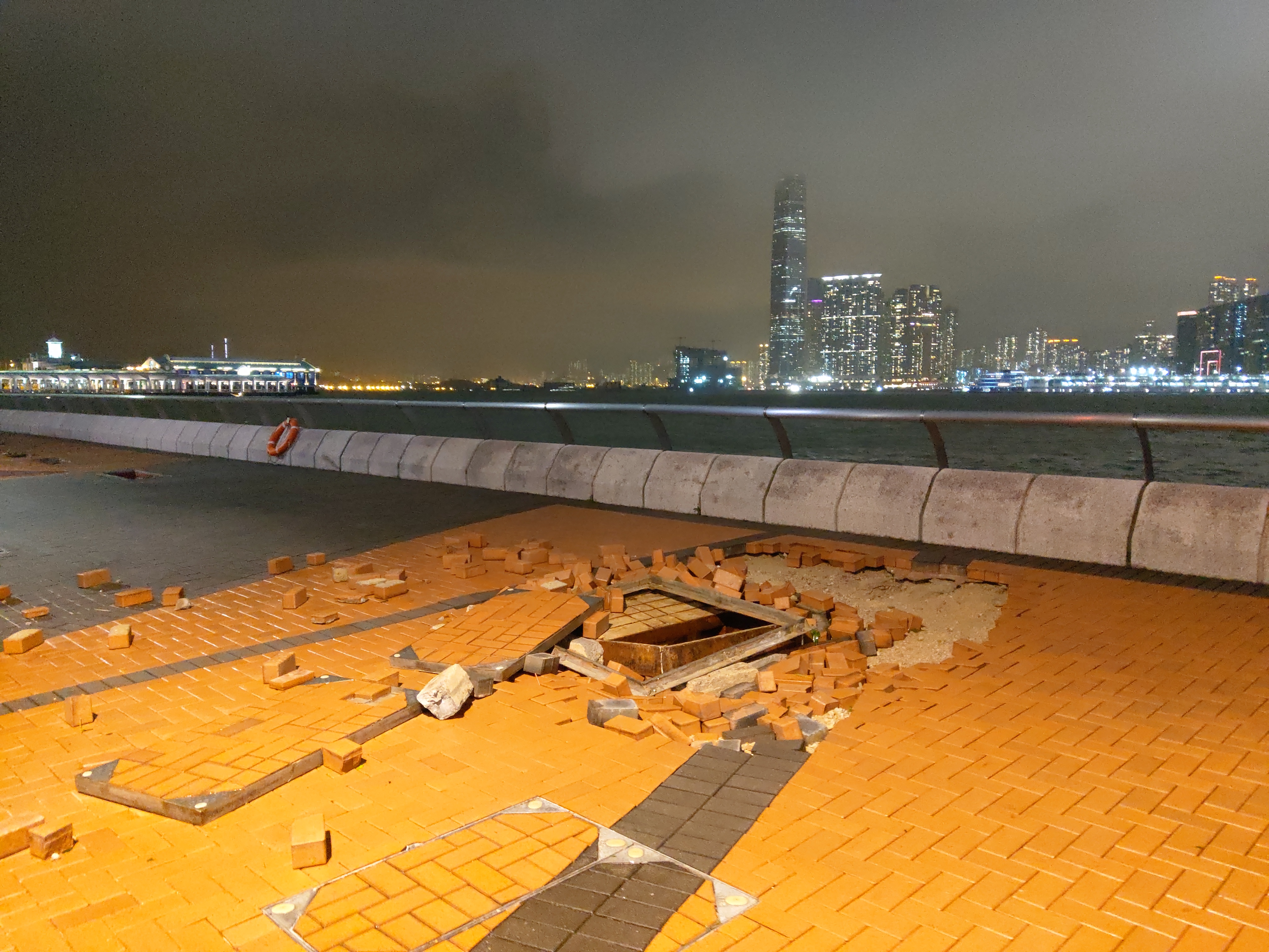
Typhoon Noul made landfall in southern China, triggering the nation's highest-level flash-flood alert and forcing mass relocations [3].
The storm's arrival underscores the region's vulnerability to increasingly frequent tropical systems, threatening critical infrastructure and the safety of millions in densely populated coastal hubs.
Typhoon Noul hit Huidong County at approximately 3:50 a.m. [3]. The system brought gale-force winds and torrential rain to Guangdong province and neighboring Hong Kong [1, 4]. In response to the extreme weather, officials relocated more than 700,000 people in Guangdong [5].
This storm marks the 12th tropical cyclone of the year [3]. It is also the third tropical cyclone to hit China this month [3]. Authorities said that heavy rain is expected to continue for the next two days [1].
The highest-level flash-flood alert was issued as the storm brought a torrential downpour to the region [3, 4]. Local governments focused on evacuation efforts to mitigate the risk of casualties from sudden flooding, and landslides.
Regional disruptions have been widespread, with heavy rain and winds affecting transport and daily operations across southern China [5]. Emergency services remain on high alert as the storm system moves through the area.
“China declares highest-level flash-flood alert as Typhoon Noul hits land.”
The frequency of these events—three tropical cyclones in a single month—indicates a period of intense meteorological activity for Southern China. The scale of the evacuation, involving hundreds of thousands of residents, demonstrates the high reliance on state-led disaster management to prevent mass casualties in the face of extreme weather patterns.


