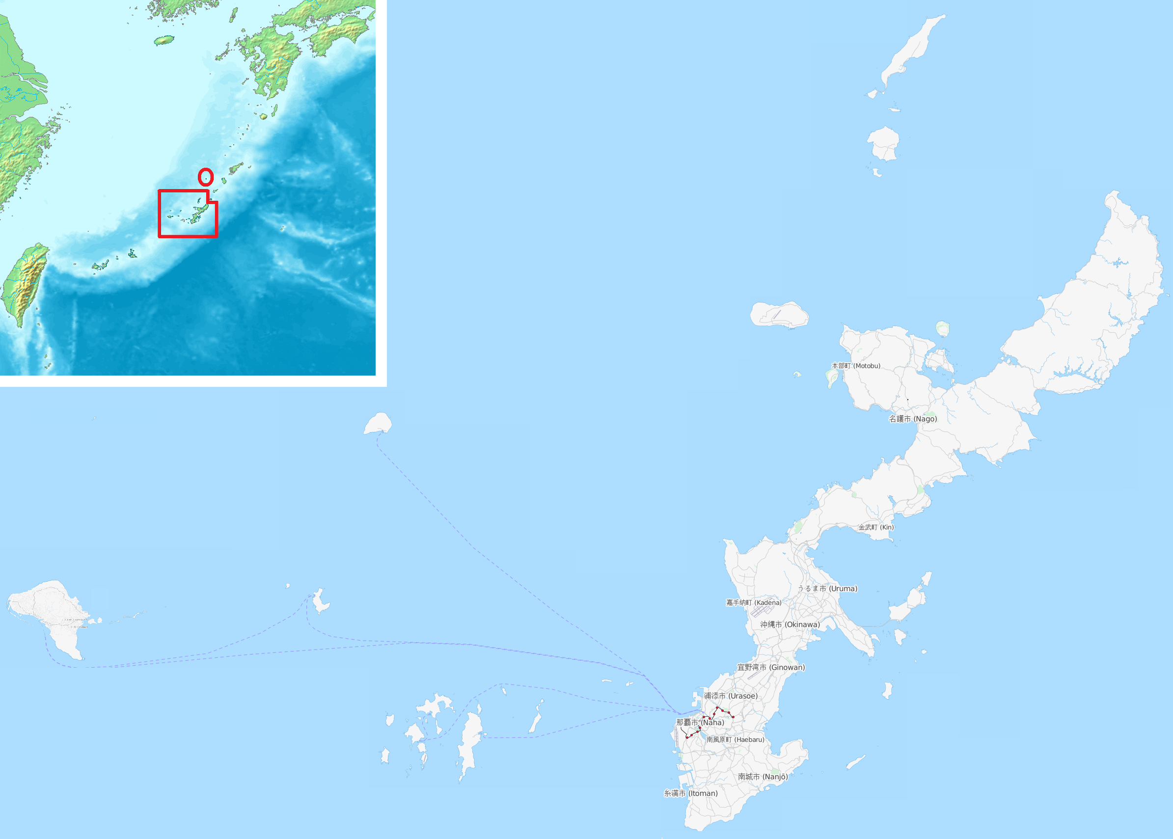
Typhoon Saudel moved toward southern Japan and northern Taiwan on Monday, bringing forecasts of heavy rain, strong winds, and high seas [1, 2].
The storm's trajectory threatens critical infrastructure and coastal populations in the Okinawa prefecture and northern Taiwan. Local authorities are bracing for potential flooding and wind damage as the system intensifies.
Japan's weather agency issued warnings of destructive gusts and heavy rain for the southwestern islands of Okinawa prefecture [1, 2]. The agency's alerts focus on the meteorological trajectory of the storm, which is bringing it directly toward the region [2].
In Taiwan, officials are monitoring the approach of the typhoon to northern regions. While Saudel continues its path, Taiwan reported one death [2] and four missing people [2] resulting from a separate weather system.
Emergency services in both regions remain on high alert. The combination of high seas and heavy precipitation typically increases the risk of landslides and urban flooding in these coastal geographies [1].
Meteorologists continue to track the storm's movement to provide updated landfall estimates. Residents in the projected path have been advised to follow local safety protocols and secure property against high winds [2].
“Japan's weather agency issued warnings of destructive gusts and heavy rain.”
The simultaneous threat of Typhoon Saudel and the aftermath of a separate weather system in Taiwan place significant strain on regional disaster response resources. The focus on Okinawa and northern Taiwan highlights the seasonal vulnerability of these corridors to high-intensity tropical cyclones, which often necessitate large-scale evacuations and disrupt maritime trade in the East China Sea.