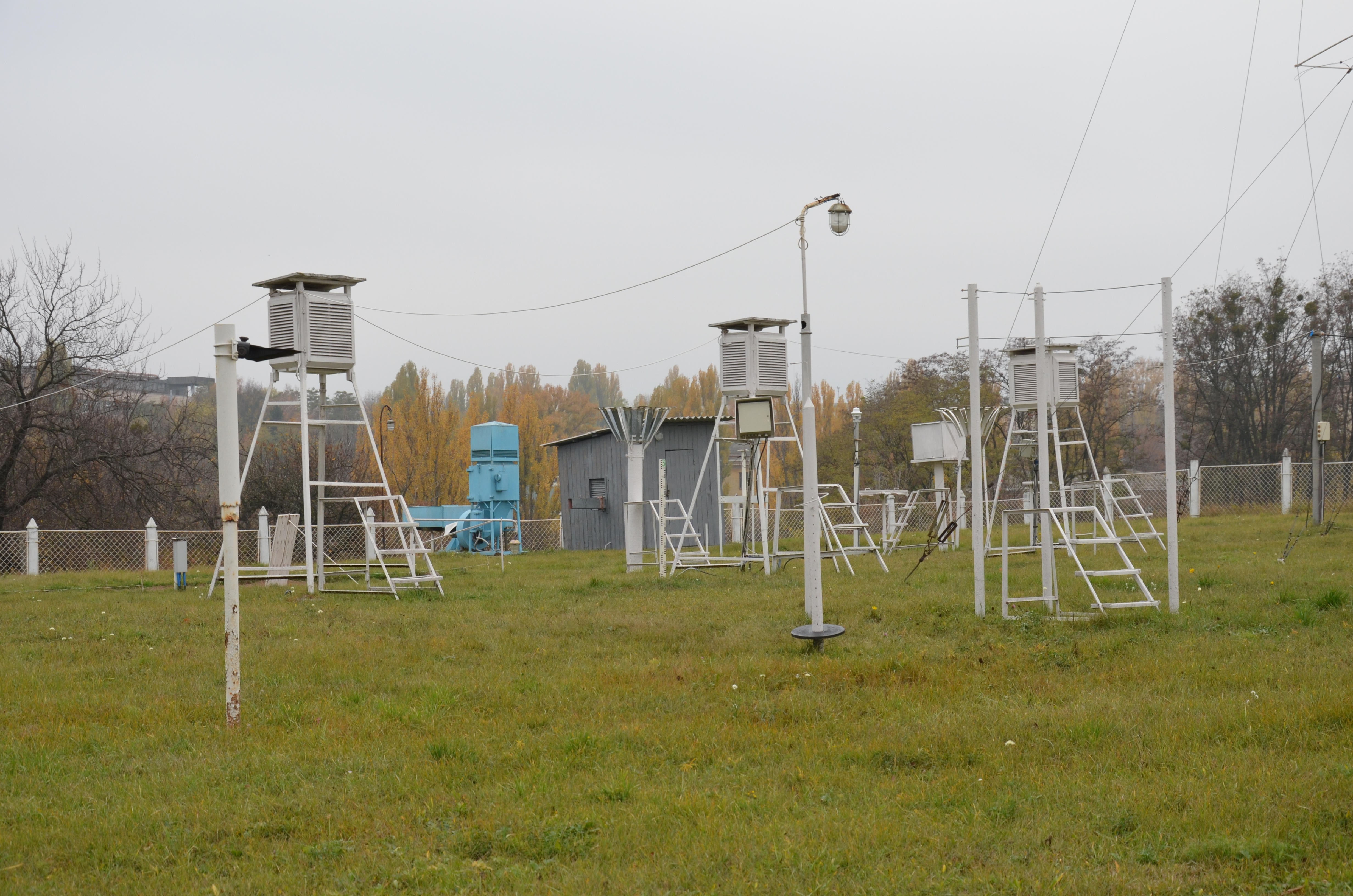
The Ukrainian Hydrometeorological Center predicts rain, thunderstorms, hail, and gusty winds across most of Ukraine on Tuesday, July 14 [1].
These volatile conditions pose risks to travel and outdoor activity during a period of instability. The shift in weather patterns marks a temporary break before the return of high temperatures later this week.
Officials said they have issued a Level I yellow danger rating for the affected areas [3]. The weather system is impacting most regions of the country, with a particular focus on Kyiv city and the surrounding Kyiv region [4]. In the Kyiv region, temperatures are expected to reach a maximum of 28 °C [2].
According to the synoptic service, the current instability is caused by cyclonic activity moving over the region [1, 5]. This atmospheric pressure system has kept the first half of the week under unstable conditions [1].
While the immediate forecast focuses on precipitation and wind, the relief from the summer heat is short-lived. Meteorologists said that strong heat is expected to return after July 17 [1].
“Officials have issued a Level I yellow danger rating for the affected areas.”
The transition from cyclonic activity to a return of strong heat indicates a volatile mid-July weather pattern for Ukraine. The Level I alert serves as a cautionary measure for citizens to prepare for sudden storm cells and wind, while the subsequent heatwave suggests a continued strain on energy infrastructure and public health as the region swings between extremes.